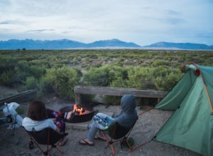
Camp at Mosca Campground
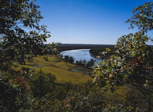
Hooper, ColoradoWhere to camp: San Luis State Park is located 15 miles west of Great Sand Dunes National Park, San Luis State Park features views of San Luis Lake, the Great Sand Dunes and the Sangre de Cristo Mountains. The campground provides water and hot showers, which we enjoyed after a day of hiking the dunes. Reserve your campsite here.If you're making this a couple day trip, here's a guide to a few g...
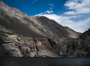
Hike to Willow Lake, CO
Westcliffe, Colorado
5.0
9 mi
/ 2800 ft gain
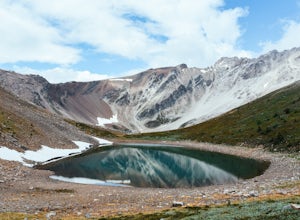
Nestled in the Sangre de Cristo Wilderness, Willow Lake offers a stunning destination to a rigorous hike. The hike is approximately 9 miles out and back with 2800 feet of elevation gain. The trail is well marked and maintained. However, the hike rarely levels off. Be prepared for a steady incline the entire way until you reach the lake.Along the way you'll come across a beautiful valley, wildfl...
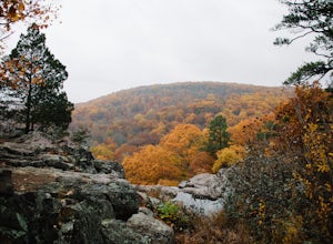
Hike Mina Sauk Falls Trail
Ironton, Missouri
3 mi
/ 400 ft gain
The hike begins with a paved trail leading to a plaque marking the highest point in Missouri. Although there is no view here it is still a fun spot to take a picture. Continue back on the main trail until you reach the junction marked by the backcountry camping registration box. Turn right at the junction to hike a counterclockwise loop.
The trail slowly descends through the woods. As you con...
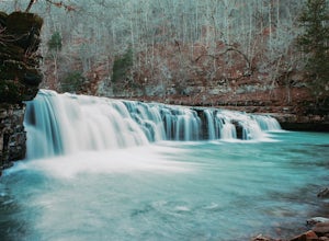
Richland Falls and Twin Falls of Richland Creek
Witts Springs, Arkansas
4.0
4.8 mi
/ 472 ft gain
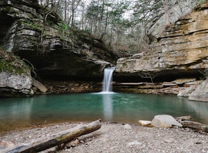
The hike to Richland Falls and Twin Falls of Richland creek begins at the Richland Creek Campground. From the entrance of the campground take the road to the right heading to the day use area. The trailhead is found at the end of the day use area.
The trail immediately begins with a crossing of Falling Water Creek. You’ll notice a sign for Richland Falls and Twin Falls just beyond the crossi...
Hike to Grinnell Lake
Browning, Montana
5.0
7.16 mi
/ 60 ft gain
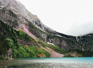
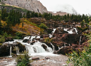
The hike to Grinnell Lake begins at the Grinnell Glacier Trailhead, approximately 0.5 miles past Many Glacier Hotel in the Many Glacier area of Glacier National Park. For folks staying in the hotel, there is an optional trailhead just south of the building. There is also is a boat shuttle for those wanting to bypass the hike along Swiftcurrent Lake and Lake Josephine. For more information on th...
Sycamore Falls
Tracy City, Tennessee
4.5
2.18 mi
/ 236 ft gain
Sycamore Falls is located in the Fiery Gizzard region of South Cumberland State Park. The trailhead is located just past Tracy City Elementary School on Fiery Gizzard Road. There is a large parking lot with restrooms at the trailhead.
Start your hike at the south end of the parking lot. This area of trail is known as the Grundy Day Loop trail. You'll quickly descend until the trail meets Li...
Yellow Rock Trail
West Fork, Arkansas
4.0
3.25 mi
/ 531 ft gain
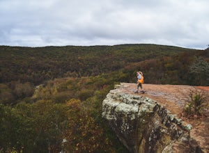
Yellow Rock Trail offers an easy loop hike with stunning views of the Ozark Mountains.
The trail is located just south of Fayetteville, AR in Devil’s Den State Park. From the entrance, follow the main road past the visitors center. You’ll pass a small lake and recreational area on the left. Take the first right just past the bridge. The trailhead is located on the left hand side of the road...
Hike to Sun Point
Browning, Montana
5.0
1.6 mi
/ 250 ft gain
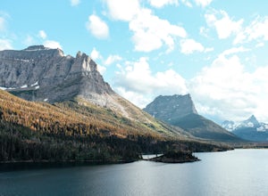
With panoramic views of St. Mary Lake and it’s surrounding peaks, Sun Point is the perfect spot to chill/relax in Glacier National Park. It can be reached via the Sun Point Nature Trail or the Sun Point picnic area.To reach Sun Point via the nature trail, start at Sunrift Gorge parking area. Climb down the stairs on the south side of the road until you see the trailhead sign. Continue to desc...
Camp at Horseshoe Bend Campground, AR
Rogers, Arkansas
4.0
The campground has several sites along the shores of Beaver Lake. Its restrooms are clean and include free hot showers. The campground does not provide firewood. However, you are allowed to pick firewood from the surrounding woods. If there has been recent rainfall you’ll need to buy firewood prior to arriving. Campsites run $20/night and can be reserved at recreation.gov. Check out the ma...
Hike Big Spring Trail
Kingston, Arkansas
5.5 mi
/ 500 ft gain
Big Spring Trail is located in Smith Creek Preserve just south of Boxley, Arkansas. There is a small parking area at the entrance. Detailed maps of the area provided by The Nature Conservancy can be found just past gate.
Walk through the gate and begin your hike with a steady decline down the service road. You’ll soon reach a fork in the road leading to Elise Falls. Keep straight at the for...
Hike from Bear Lake to Fern Lake Trailhead
Estes Park, Colorado
5.0
10 mi
/ 2100 ft gain
On this Rocky Mountain hike you’ll explore 4 picturesque mountain lakes and a 60 foot waterfall.
Completing this hike requires familiarizing yourself with Rocky Mountain National Park’s free shuttle system. Hikes along Bear Lake Road are some of the busiest in the park. Trailhead parking lots fill up early in the morning, so avoid the trouble and use the shuttles. To access Bear Lake trailhead...
Explore Squaw Creek National Wildlife Refuge's Scenic Loop
Mound City, Missouri
4.0
10 mi
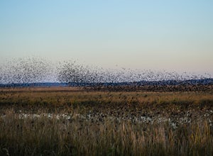
Squaw Creek National Wildlife Refuge is located just outside of Mound City in northwest Missouri. The refuge is approximately 100 miles northwest of Kansas City off I-29. It’s headquarters/visitors center are on the east side of Hwy 159. The visitors center is open weekdays 7:30-4:30 and on select Saturdays during peak migration periods. The refuge itself is gated and open from sunrise to s...
Baring, St. Mary, and Virginia Falls in Glacier NP
Browning, Montana
4.7
5.43 mi
/ 500 ft gain
This 5.4 mile out-and-back hike will take you to Baring, St. Mary, and Virginia Falls.
Start your hike at the Sunrift Gorge parking area. Hike down the stairs on the south side of the road. Here you’ll see the trailhead for Baring Falls.
Descend until you reach the Baring Falls/Sun Point junction. Here, turn right toward Baring falls. At 0.3 miles you’ll encounter the 25 ft. high Baring Fa...
Hike Pedestal Rocks Loop
Witts Springs, Arkansas
4.5
2.2 mi
/ 200 ft gain
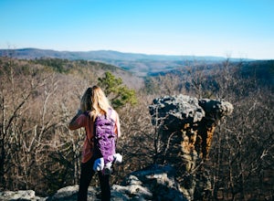
Shortly after the trailhead, you’ll come to a three-way intersection. Head straight on Pedestal Rocks Trail to make a counterclockwise loop. Follow through the woods until you reach the bluff line. Check out the ledges along the way and you’ll begin to see the pedestal rock formations. There are several areas where you can head off trail and explore the rocks and caves from below. Continue a...
Hike the Wapiti Lake Trail to Grand Canyon of Yellowstone Loop
Yellowstone National Park, Wyoming
4.5
5 mi
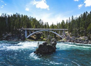
Experience Yellowstone’s diversity with this epic loop hike.How to get there: Wapiti Lake Trailhead is located just south of Upper Falls of the Yellowstone. From Yellowstone Lake, head north on Grand Loop Road. Turn right on South Rim Dr. Just after crossing Chittenden Bridge turn right and park in the large parking lot.The Hike: The hike begins with a steady climb through and open meadow. To...
Tea Kettle Falls Trail
Huntsville, Arkansas
3.2
2.97 mi
/ 289 ft gain
Finding Tea Kettle Falls is the most challenging part of this adventure. The trailhead is located in the McIlroy-Madison County Wildlife Management Area in northwest Arkansas. From Forum, travel 6.5 miles north on Hwy 23 to gravel road #447. It is approximately 13 miles south of Eureka Springs (1.4 miles south of the Hwy 12 junction). There is no sign for gravel road #447 but you should see a...
Explore the Johnson Shut-Ins
Lesterville, Missouri
4.5
0.6 mi
/ 25 ft gain
The Shut-Ins Trailhead is located located next to the River Store in the Johnson Shut-Ins State Park day use area.
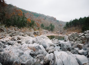
Simply follow the paved trail for 0.3 miles to the boardwalk and viewing deck. Here you’ll find stairs accessing the Shut-Ins. Take your time exploring the unique rock formations spreading across the Black River. The trail to the observation deck is family friendly and handic...
Hike West Ridge Trail in Weston Bend State Park
Weston, Missouri
5.0
2.5 mi
/ 150 ft gain
A short day trip from Kansas City, Weston Bend State Park offers a nice getaway for those seeking the outdoors.How to get there: Weston Bend State Park is approximately 35 miles northwest of Kansas City. From Kansas City take I-29 N to exit 20 for Weston. Turn left on MO-371 N. Continue onto MO-273 N. Turn right on the first stop light to stay on MO-273 N. Prior to entering Weston, turn left ...
Redrock Falls
Browning, Montana
4.5
3.73 mi
/ 100 ft gain
The hike to Redrock Falls begins at the Swiftcurrent Pass Trailhead in the Many Glacier area of Glacier National Park. The trailhead is located at the western end of the Swiftcurrent Motor Inn parking lot.
From the trailhead, head straight toward Swiftcurrent Pass and Redrock Falls. At approximately 0.3 miles you’ll notice a small spur trail on the left-hand side which leads to Fishercap Lak...
Explore Reflection Lakes
Packwood, Washington
4.3
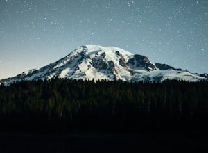
Reflection Lakes is located approximately 1 mile east of Inspiration Point just off Steven Canyons Road in the Paradise section of Mount Rainier National Park. Simply park in one of the pullouts at the lakes and enjoy the scenery. Reflection Lakes can also be accessed via the Wonderland Trail.Try to catch the lakes early morning or evening when the water is still. If the sky is clear you’ll ...
Hike to Paige Falls and Broadwater Hollow Falls
Harrison, Arkansas
5.0
0.5 mi
/ 100 ft gain
Although there is no official trailhead, Paige and Broadwater Hollow Falls can be accessed off of NC 2660 in Compton, Arkansas. Once on NC 2660, head straight down this rugged gravel road for approximately 2 miles. Soon you’ll reach a sharp bend to the left with a small parking area just before the bend. Park here.
Once parked, hike down the road and cross the creek. You’ll notice a small ...
Hike to Bourgeau Lake and Harvey Pass
Sawback, Alberta
5.0
12.5 mi
/ 3360 ft gain
The trailhead for Bourgeau Lake/Harvey Pass is on the west side of Trans-Canada Highway approximately 5 miles west of Banff. The turn-off is approximately 0.9 miles past the Sunshine Village Ski Resort exit. There is a small parking lot and a restroom at the trailhead.
Enter through the gate to begin. Initially, the trail steadily climbs through the forest with long drawn out switchbacks. Y...
Mystic Falls Loop
Yellowstone National Park, Wyoming
5.0
3.5 mi
/ 500 ft gain
Mystic Falls is located in the Biscuit Basin area of Yellowstone National Park. Biscuit Basin’s parking lot is approximately 2 miles north of Old Faithful along Grand Loop Road.
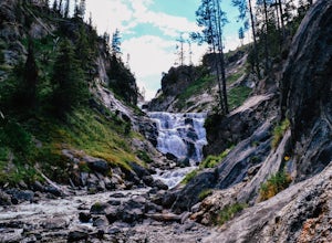
Start your hike along the Biscuit Basin boardwalk. The boardwalk provides access to several thermal features including the popular Sapphire Pool. The actual trail for Mystic Falls begins near Avoca Spring at the west ...
Neil Compton's Double Falls
Kingston, Arkansas
4.0
2.15 mi
/ 404 ft gain
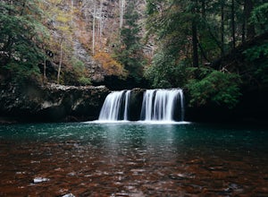
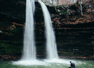
The parking area for Neil Compton’s Double Falls is approximately 1.1 miles past the trailhead for Hawksbill Crag on Cave Mountain Road. Cave Mountain Road is steep and can get pretty muddy after a good rain. A vehicle with 4WD is recommended although plenty of people make it up in small cars. You will see a sign on the left side of the road that states “Upper Buffalo Wilderness - Ozark Natio...
Community
© 2024 The Outbound Collective - Terms of Use - Privacy Policy

